Storm Chase Details
Miles Logged: 286
States Chased: OK
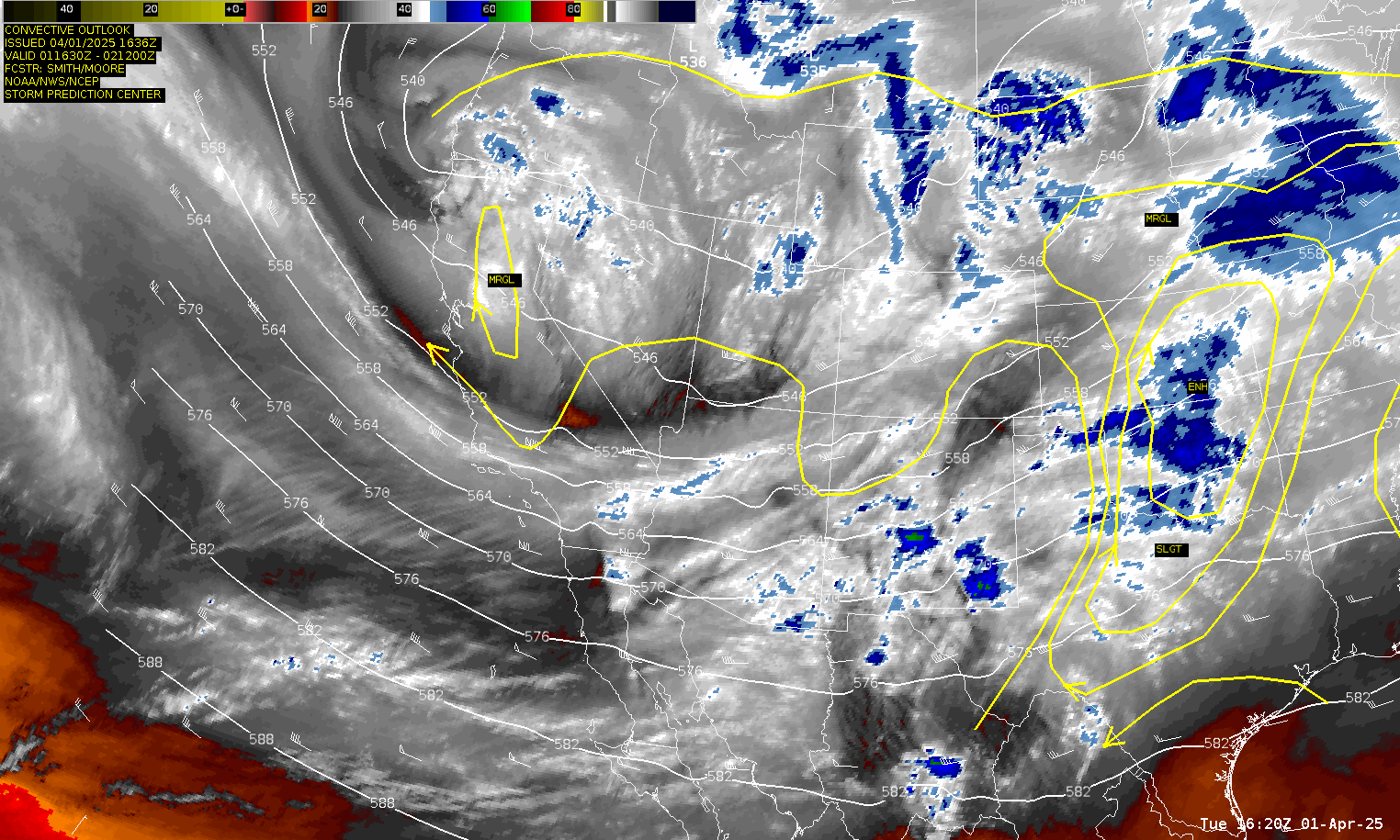
Severe Risks: SPC Outlooks
Severe Reports: Storm Reports
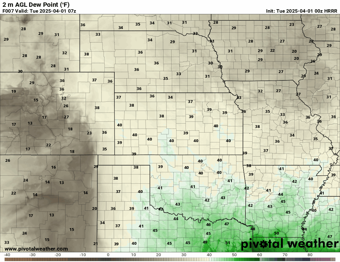
A day that the cap was forecast to hold on most models leading up to the event. The atmosphere was primed, however, if convection could fire. With just in time moisture streaming in from the south, most models were not convecting. However, as moisture return seemed to be higher than anticipated, models started showing convection the day of the event.
Mike Morgan also had some hype to add to it

Departure from Norman
Chance picked me up around 3:30 and we were on the road to Chickasha where we sat by the airport for awhile. With the first blips showing up on the radar, we decided to position further north to Minco and then to El Reno, eventually heading up US81 towards Kingfisher.
The first storm that fired as struggling badly on radar and the towers visually did not look good in the sloppy environment. We dropped off in Kingfisher as the storm rocketed away from us and headed east on OK-33 towards Guthrie.
21Z Special Sounding from Norman
The 21Z Sounding from Norman showed quite a stout cap in place, with -127SBCIN associated with a warm nose near 825mb.

Dropping back South
We gave up on OK-33 and headed south on OK-74 back towards the city. We dropped south on I-44 to Chickasha, where we picked up US81 south again towards Duncan.
00Z Sounding from Norman

The 00Z Sounding continued to show a decent cap in place, which would explain why the storms were struggling. We continued south towards the storm heading for Duncan.
Duncan Storm
The Duncan storms were also struggling. We arrived to the intersection of US81 and Highway 7 as they continued to lose intensity and fall apart.


